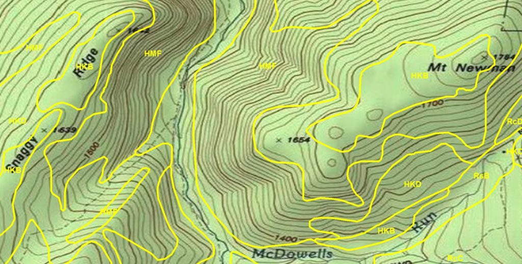
Municipalities are increasingly using U.S. Department of Agriculture Natural Resources Conservation Service soils mapping for regulatory decision making.
Soil Survey Reports and soils maps created by the USDA NRCS are fantastic! They provide continuous mapping for almost the entire country and an abundance of information about soil properties and the suitability of soils for different uses. All of these maps and data are available online, free of charge, in an easy to use format through Web Soil Survey.
The scale at which the NRCS creates soils maps, however, can make them unsuitable for site specific use. The mapping scale doesn’t permit appropriate accuracy and small areas of differing soils can’t be mapped. Matapeake Soil & Environmental Consultants can map your property in much greater detail and develop interpretations that show the suitability of the soils and landscapes for your project.
—